
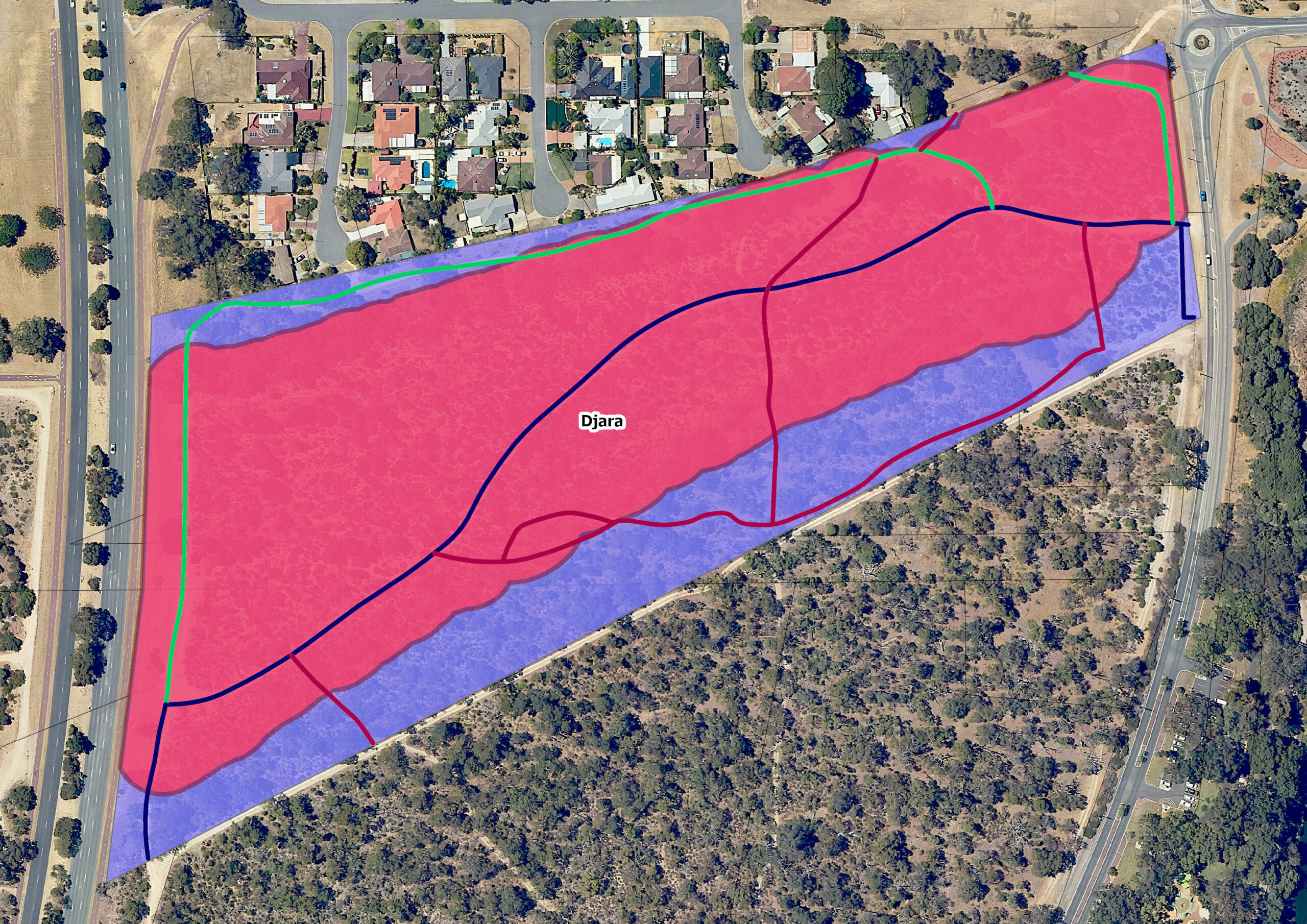
Walliabup (Bibra Lake) can easily be seen from the rising hillside where jarrah trees begin to populate the sandy soil and banksias are more prevalent. Being so close to roads and the vicinity of former dairy farms, bushland species must compete with introduced and feral species and the impact of historic rubbish dumping. However, rainbow bee-eaters are small, migratory, insect eating birds with rainbow plumage that take advantage of the disturbed sandy soil to nest in burrows in the ground. Close to the lake and with abundant native vegetation, insects are plentiful and bee-eaters have the uncleared jarrah and marri trees in which to take cover. Watching them emerge from their burrows is to witness an explosion of colour and movement. In 2023 ten species of native bees were recorded in the corridor.
Djara
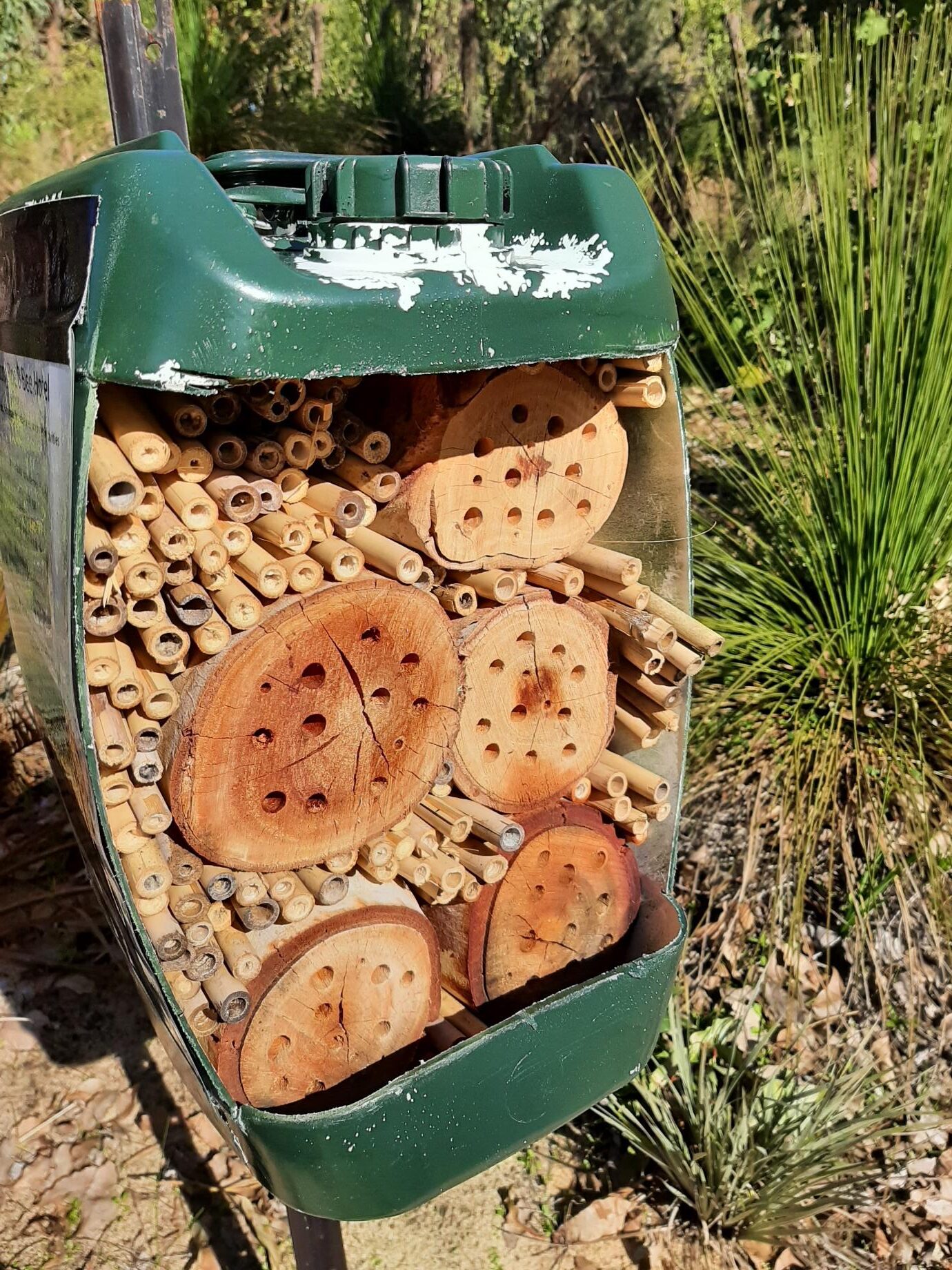
Native bee hotel, checked monthly by local custodians.
This area upland of Walliabup (Bibra lake) was undoubtedly a camping site for Nyungar people. An archaeological survey, with elder oversight, commissioned by the Rehabilitating Roe 8 project in 2020 has extended previous work by showing more widespread traces of Nyungar use in the area between Walliabup and Coolbellup Lakes than previously understood. A high density of sub-surface stone artefacts led the survey archaeologists to conclude that that the whole of the higher area around the lakes would have been used for camping, reflecting both Nyungar tradition and historical sources. The presence of extensive, tangible materials relating to the lives of Nyungar ancestors let the study team to suggest the entire wetland complex should be treated as a single cultural landscape (read the report).
The first European settlers made homes close to the lake and along with a community hall, the first Bibra Lake School was built on this site; a single timber room with a water tank. Getting to school along Progress Drive (then North Lake Road) was a challenge when the lake flooded. In the 21st century remnant bush was nearly continuous from the residential community of North Lake south to Gwilliam Drive. Frequent dog walkers were probably unaware that they were on a road reserve planned since the 1950s to be cleared for the Roe Highway. A large radiata pine tree not far from Progress Drive was the site of a tree sit by a Roe 8 protestor in January 2017 as the community was trying to delay the clearing moving downslope toward the wetlands. Supported by others who provided food and water, he lived in the top branches of the pine tree for ten days, as clearing progressed around the tree. When he was finally arrested, the pine tree was soon cut down and the adjoining bush completely cleared. Near this location a high-rise bird waterer was installed by Rehabilitating Roe 8 in 2022. Powered by solar cells, it can be refilled remotely, providing secure, clean water for the black cockatoos and other birds visiting the area.
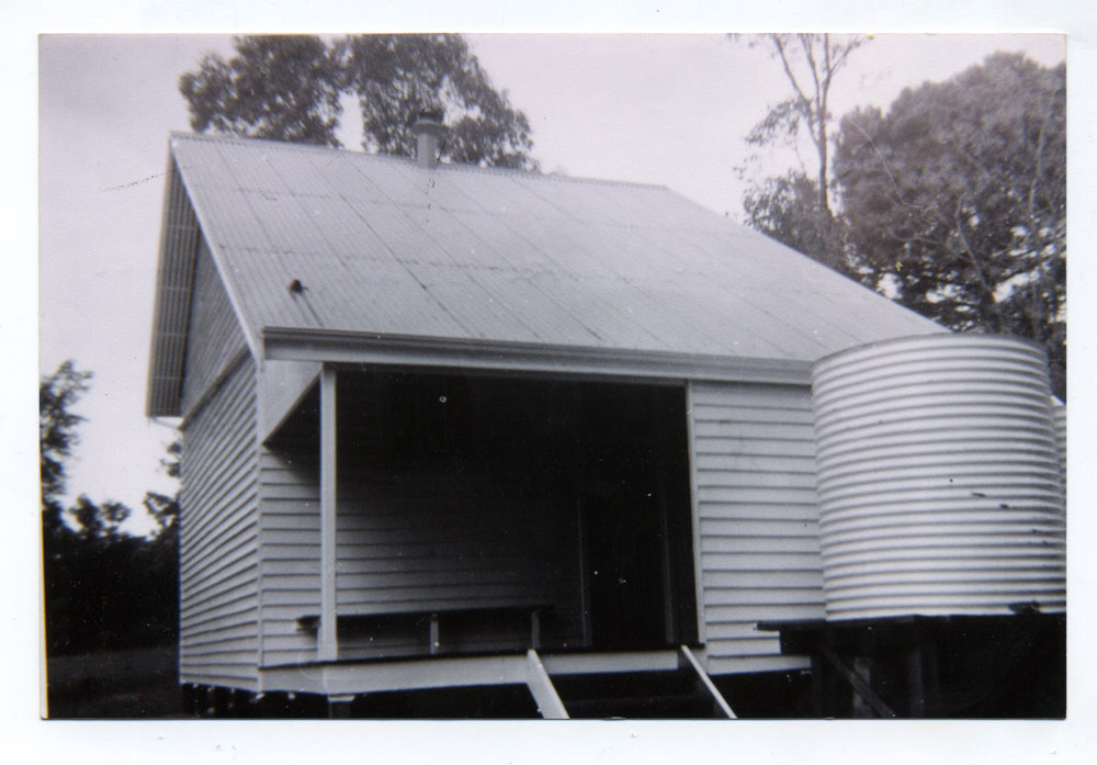
First Bibra Lake School (Photo: Azelia Ley Homestead Museum ALP.157)
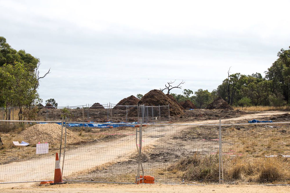
Jarrah site after clearing in 2017 (Photo: S.Hoult)
Some of the first planting for the Rehabilitating Roe 8 project occurred here on a rainy day in 2018. Community members involved in the protest movement volunteered their time to try and restore the bush, while reconnecting with each other. Enjoying the quiet camaraderie, they doubtless remembered the loss of the bushland in 2017. In 2023 visitors turning left from Hope Road onto Progress Drive see healthy native vegetation upslope from the lake, now protected from vehicles by fencing. In summer, insects again hum amongst the prickly moses and wattle, while jarrah trees stand sentinel on land where the Nyungar ancestors once camped.